More About Tides and Water Level

The water level at a certain place is the sum of the astronomical tide and the weather’s effect on the water level. Globally, semi-diurnal tides are most common, meaning two high and low tides each day. The Norwegian Mapping Authority’s Hydrographic Service operates a network of 24 permanent tide gauges distributed along the Norwegian coast.

Useful information

Tide Tables and Water Level Forecast at Se havnivå

Se havnivå shows observed and forecasted water levels, and tide tables for almost any place along the Norwegian coast. If you are interested in water level information for within the next five days, we recommend that you use the water level forecast.

How to Use the Se havnivå Online Service

Se havnivå provides information on observed and forecasted water levels, important vertical datum, tidal conditions (high and low tides), land uplift, historical data and future sea levels for all locations along the Norwegian coast (with a few exceptions).

Permanent Tide Gauges

The Norwegian Mapping Authority has 24 permanent tide gauges in Norway: 23 are located along the Norwegian coast and one is located in Ny-Ålesund on Svalbard. 

Storm-surge - What Does it Mean?

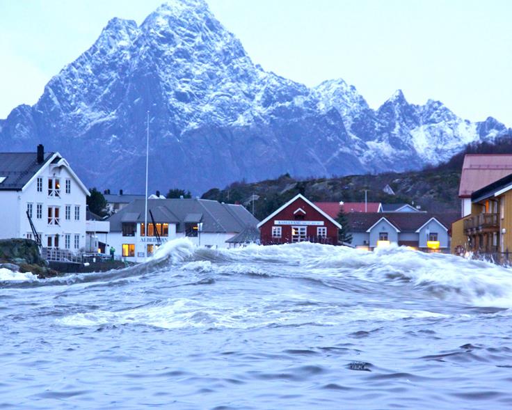
A storm-surge occurs when meteorological effects cause an extreme rise in water levels. Especially wind and changes in air pressure affect the water level.

Share