International involvement
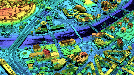
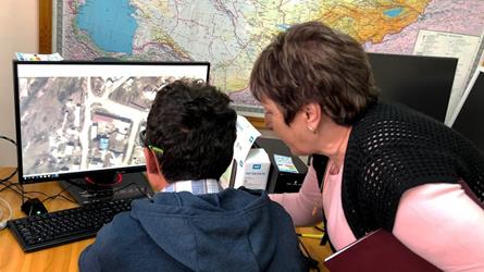
The Norwegian Mapping Authority (Kartverket) is involved in many international activities and international development cooperation related to land and hydrographic mapping, geodesy, property registration and capacity building.
International development cooperation
Facts About our projects
Ongoing development projects in 12 countries. Our projects respond to the 2030 Sustainable Development Goals. The main themes of our projects:
- First registration of property rights.
- Cadastral surveying and mapping.
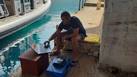
- Depth and sea measurement, international marine safety.
- Mapping of areas vulnerable to natural disasters.
- Distribution of geographical data to users and stakeholders.


The mail has been sent!